
Methane is one of the most important greenhouse gases linked to climate change, yet identifying exactly where it enters the atmosphere has historically been difficult. Methane can escape from oil and gas infrastructure, landfills, agriculture and other sources, often across large and remote areas.
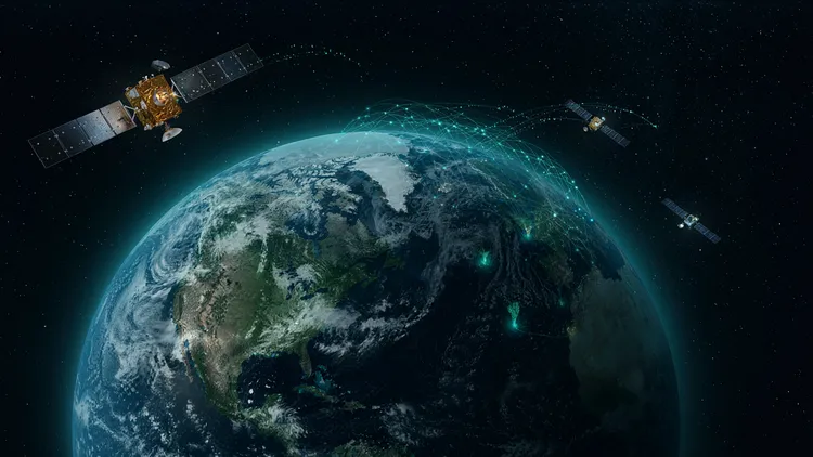
Now, satellite observations combined with deep learning are creating a more detailed picture of these emissions. Instead of relying only on ground based measurements, researchers can analyze large volumes of imagery and atmospheric data to identify methane concentrations across vast geographic regions.
This emerging approach is changing how scientists understand methane pollution and could make environmental monitoring faster, more detailed and more responsive.
Why Methane Monitoring Is Difficult
Methane is invisible to the human eye and can disperse rapidly through the atmosphere. Traditional monitoring methods often depend on sensors positioned near known facilities or selected locations.
Although these systems can provide valuable measurements, they may miss emissions occurring in remote or difficult to access areas. Furthermore, methane sources can change over time. A leak from industrial infrastructure, for example, may appear suddenly and disappear after repairs.
Consequently, scientists need monitoring systems capable of covering large areas repeatedly. Satellites offer that scale, while deep learning provides a way to process the enormous amount of information they collect.
How Satellites Detect Methane
Certain Earth observation satellites can identify methane by measuring how sunlight interacts with gases in the atmosphere. Methane absorbs specific wavelengths of infrared radiation, creating detectable patterns in satellite observations.
However, raw satellite data can be complex. Clouds, atmospheric conditions, surface characteristics and other environmental factors can affect observations.
This is where machine learning becomes valuable. Deep learning models can be trained to recognize patterns associated with methane and distinguish potential emission signals from background environmental information.
As a result, researchers can process large datasets more efficiently than would be possible through manual analysis alone.
Deep Learning Makes Large Scale Analysis Possible
Deep learning uses artificial neural networks to identify complex patterns in large datasets. In methane monitoring, these systems can examine satellite imagery and related atmospheric information to identify unusual concentrations or emission patterns.
The models can learn from previously analyzed observations and improve their ability to recognize methane related signals. Therefore, instead of examining every image individually, researchers can use automated systems to prioritize areas that require closer investigation.
Moreover, deep learning can help connect observations across different locations and time periods. This makes it possible to study how emission patterns change rather than simply capturing individual events.
These capabilities represent an important area of Technology insights because they demonstrate how artificial intelligence can turn massive environmental datasets into practical information.
Finding Major Emission Sources
One of the most valuable applications is identifying significant methane sources. Oil and gas operations, pipelines, storage facilities and industrial sites can sometimes produce unusually large emissions.
Once satellites detect a potential methane plume, researchers can investigate the location and determine whether the source may require further inspection.
Similarly, agricultural operations and waste facilities can contribute methane emissions. Mapping these sources provides governments, researchers and businesses with better information for deciding where mitigation efforts could have the greatest impact.
In addition, repeated satellite observations can help determine whether emissions are persistent or temporary.
From Scientific Research to Environmental Action
Better methane mapping can influence environmental policy and corporate decision making. Governments can use improved data to understand regional emission patterns and evaluate whether reduction programs are working.
Companies can also use monitoring information to identify potential leaks and improve operational efficiency. Detecting methane early may prevent wasted resources while reducing environmental impact.
Furthermore, transparent measurement can strengthen reporting and accountability. As organizations face increasing pressure to demonstrate environmental performance, reliable data is becoming increasingly important.
The Business Impact of Better Monitoring
Environmental monitoring is also becoming relevant to financial markets. Investors increasingly examine how companies manage environmental risks and regulatory exposure.
Finance industry updates frequently highlight the growing importance of climate related information in corporate decision making. Reliable methane data could therefore become useful for evaluating operational risks and environmental performance.
At the same time, businesses developing satellite analytics and environmental intelligence platforms may find new commercial opportunities. These services could support energy companies, governments, insurers and research institutions.
Consequently, the combination of AI and satellite data is creating an ecosystem that extends beyond scientific research.
New Opportunities for Technology and Skills
The growth of AI driven environmental monitoring is also creating demand for specialized expertise. Data scientists, remote sensing specialists, software engineers and environmental researchers may increasingly work together on these projects.
This development connects with broader HR trends and insights because emerging technologies are creating roles that require combinations of skills from different disciplines.
Meanwhile, IT industry news continues to show how cloud computing, AI infrastructure and advanced analytics are enabling researchers to process increasingly complex datasets.
The future workforce may therefore need stronger collaboration between technology and environmental science.
AI Could Improve Climate Monitoring
Deep learning does not replace scientists or physical measurements. Instead, it can help researchers process information faster and identify patterns that deserve closer attention.
Researchers can combine satellite observations with ground measurements, atmospheric models and other scientific information to improve confidence in their findings.
Moreover, increasingly sophisticated AI systems could help detect smaller emission events and track changes more frequently. Better data could ultimately support faster responses to methane leaks and more informed climate strategies.
Actionable Insights From Space Based Methane Mapping
The most important lesson is that environmental monitoring is becoming increasingly data driven. Satellites provide global visibility, while deep learning can transform enormous datasets into information that researchers and decision makers can act upon.
Organizations should therefore consider how advanced analytics can improve environmental measurement, risk management and operational efficiency. Governments and businesses can also benefit from investing in transparent monitoring systems that make environmental performance easier to understand.
For technology leaders, this field demonstrates the broader potential of AI. The same principles used to analyze complex environmental data can influence applications across energy, agriculture, infrastructure and other industries.
Stay Ahead With InfoProWeekly
For the latest Technology insights, IT industry news, HR trends and insights, Finance industry updates, Sales strategies and research, and Marketing trends analysis, connect with InfoProWeekly. Reach out to InfoProWeekly for timely insights into emerging technologies and industry developments shaping the future.
Stay informed with practical analysis that helps businesses understand innovation and turn emerging opportunities into informed decisions.